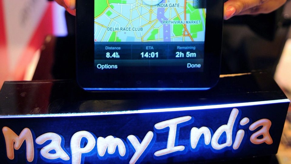
Following Google’s relaunch of Street View services in India, rival digital mapping company MapmyIndia has announced the public launch of its own 360-degree Street View product, Mappls RealView.
The service will be available on MapmyIndia’s consumer map portal, Mappls, and the Mappls app on Android and iOS.
MapmyIndia said the service will cover Greater Mumbai, Bangalore, Delhi NCR, Goa, Pune, Hyderabad, Chennai, Jaipur, Ahmedabad, Gandhinagar, Chandigarh, Jodhpur, Patna, Nashik, Aurangabad and Ajmer, as well as hundreds of towns and tens of thousands of km of highways connecting them.
Users will be able to see interactive 360-degree panoramic views of tourist landmarks, beaches, residential and apartment communities, office buildings and complexes, and the roads connecting them.
MapmyIndia Director CEO and Executive Officer Rohan Verma said: “Users can experience immersive pan-India 3D maps and detailed interactive 3D models of iconic tourist, commercial and residential landmarks across India. This is enriched with detailed home address level 2D maps and ISROs from Mappls’ of MapmyIndia The combination of satellite imagery and the Earth catalogue with MapmyIndia’s comprehensive observational data provides users with a complete and immersive real-world metaverse experience”.
The company also mentioned that a broader map repository covering hundreds of thousands of kilometres, including more than 40 crore geotagged 360-degree panoramas, videos and panoramas, will be available to private and public sector businesses and Application users, which developers can integrate this functionality to import images into their respective products using APIs and solutions based on RealView technology
These solutions address various use cases such as tourism, real estate, virtual reality, gaming, metaverse, smart cities, smart road and traffic management, advanced driver assistance systems (ADAS), autonomous vehicles, municipal governance, defence and law enforcement, etc., it said in a statement.


